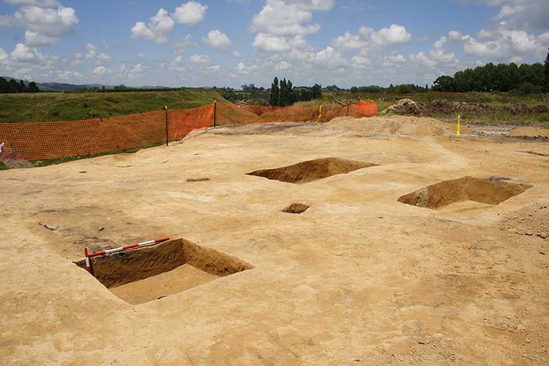
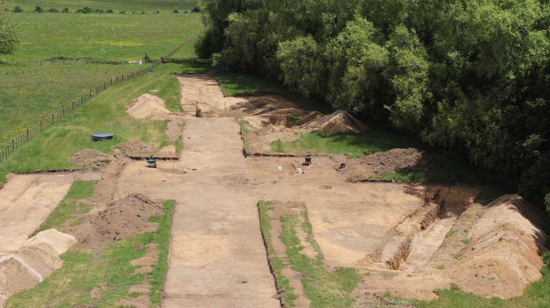
The Waikato Expressway is a four-lane highway from the top of the Bombay Hills to just south of Cambridge. It was built by the NZTA, the Cambridge and Tamahere sections are the two southernmost sections of the Expressway. These were managed and investigated by CFG Heritage in 2013-15. Twenty-one archaeological sites were investigated.
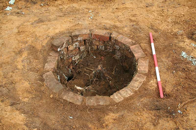
Many historic period features were recorded – most of which were post holes and other types of features which could not be dated, other than to say that they are post European arrival. The historic material all appears to be related to 19th and early 20th century farming practices, with some rubbish pits were able to be linked to individual owners – such as a rubbish pits from a site on Watkins Road. The most common historic feature was the ditch-and-bank system, a method of determining boundaries and keeping stock from wandering. Most of these features were filled in as boundaries and fence lines changed on farms.
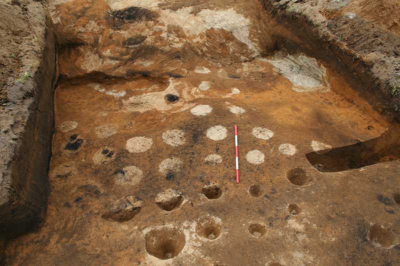
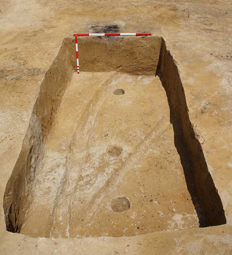
The most common pre-European Māori period site types within the area were related to horticulture – with the exploitation of the Hinuera sands and gravels. The gravels are harvested and mixed with the Horotiu loams to create distinctive gardening soil to encourage higher yields of kūmara. These gardens created a distinctive landscape, pockmarked with borrow pits and this manufactured gardening soil.
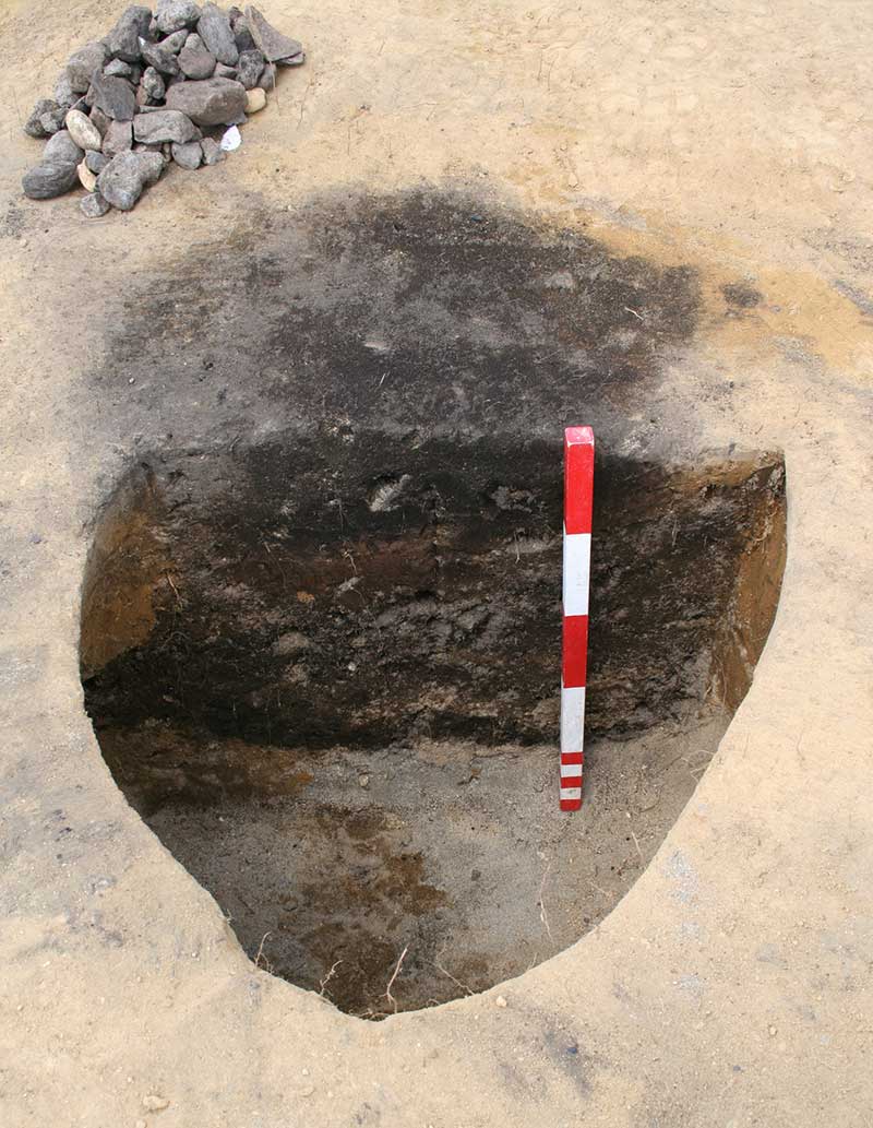
Other features were related to cooking and food storage, indicating occupation within the area. The locality of T15/66 and access to the Waikato River would have allowed for settlement of a modest population in the area, and further investigative work along the river would no doubt show this.
The presence of both Mayor Island and Whakamaru obsidian within the sites show that exchange networks were active along the river connecting the inland Waikato with other parts of the North Island. Of the eight samples submitted for radiocarbon dating, two groups of dates were captured – one which had dates from the early 16th to the mid-17th century, and the other from the mid-17th to early 19th century. These dates could however actually date from a period after abandonment, when bracken had grown over the area and filled the depressions left behind. The dates fit into the larger picture of the Waikato Horticultural System. Although there is some issue with multi-modal dates being produced in these later sites, they all indicate that gardening occurred in the Waikato basin after the 15th century.
Although Māori were obviously using the Waikato region for resources and the river to access the centre of the North Island prior to the 16th century, the large-scale forest clearance and gardening appears later in the picture, most likely a result of population expansion into the area.