The Carrington Residential Development is a large-scale development project which will create at least 4000 housing units within the Wairaka Precinct on land situated between Carrington Road and Te Auaunga / Oakley Creek. The Carrington Development is located within the Auckland Unitary Plan’s Wairaka Precinct alongside existing Unitec Campus facilities, the Mason Clinic and Taylor’s Laundry. The Crown, through the Ministry of Housing and Urban Development, currently holds 29 ha of the future development land which is right of first refusal land in Treaty settlement (the Ngā Mana Whenua o Tāmaki Makaurau Collective Redress Deed and Act). The Rōpū parties to this Redress Deed, in partnership with Te Tūāpapa Kura Kāinga / the Ministry of Housing Urban Development (HUD) are undertaking this development project.
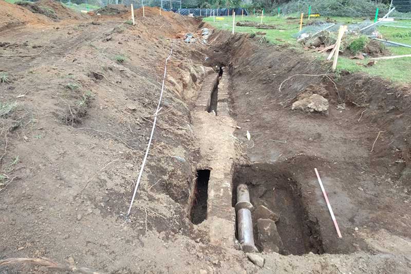
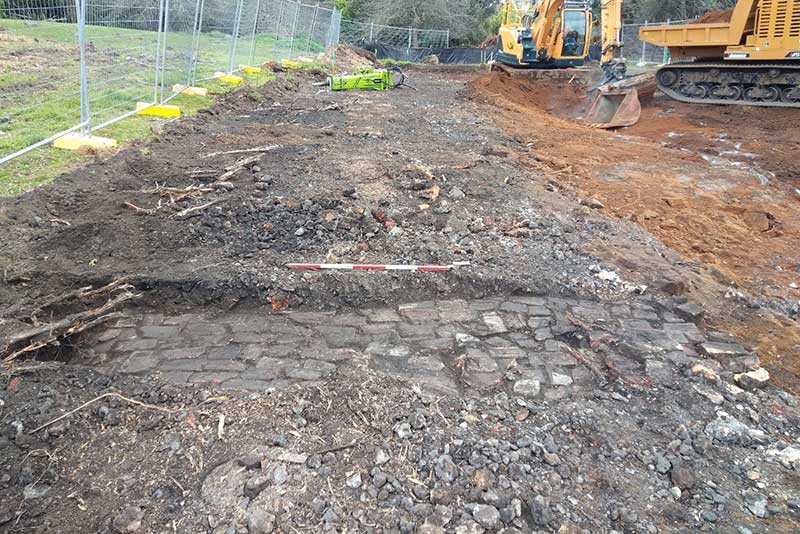
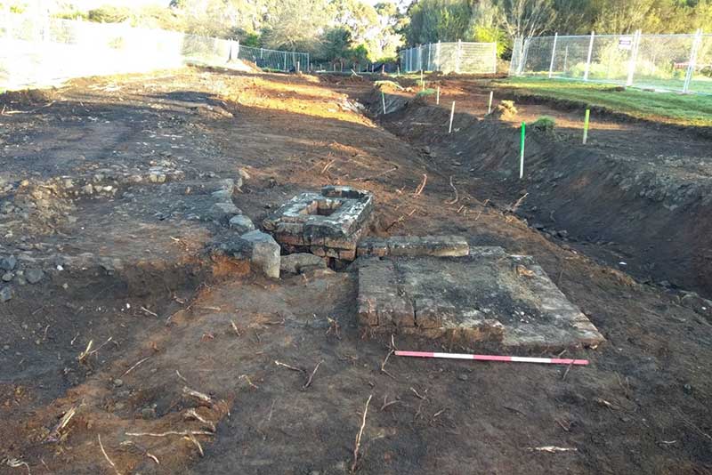
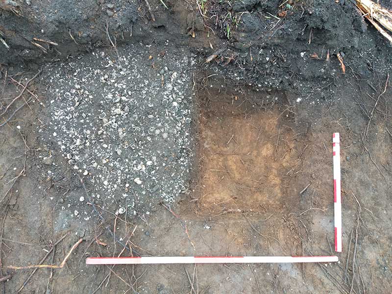
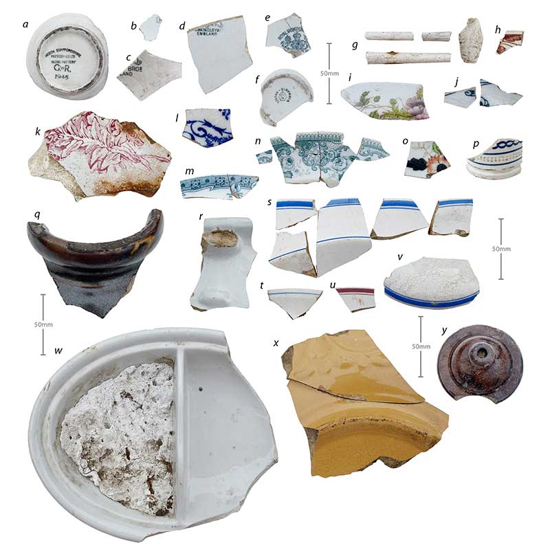
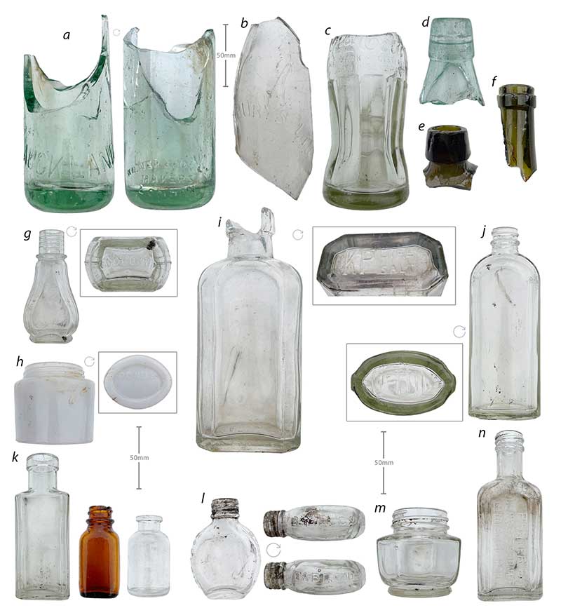
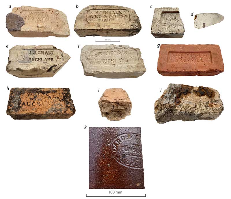
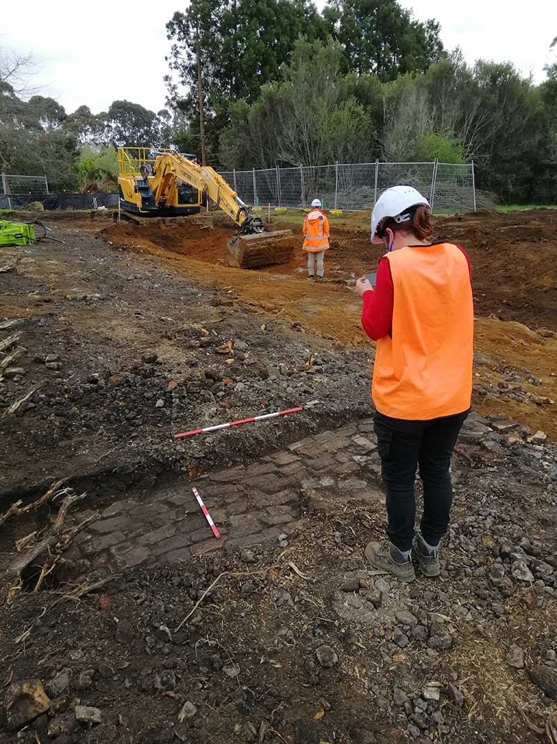
The early works phase of the project involved the construction an open stormwater outfall from ‘Spine Road’ to Te Auaunga / Oakley Creek. During monitoring of these works twelve archaeological features or deposits were recorded. These included a shell midden, two firescoops, a much larger and deeper fire feature and associated rake-out, recorded as part of R11/3313. A further seven historic features were recorded, including a brick-drain with access point, a brick sump, a brick road or driveway, a stone-lined drain, basalt stone kerbing, and two ceramic drainage pipes were recorded as R11/3376. No features were identified on the slope above Te Auaunga Creek. The slope appears to have been used to deposit burned and unburned rubbish from at least the late 19th century up to the 1950s (based on material culture), before later being covered in material from the demolition of the nearby piggery complex in the 1960s.
It was determined that site R11/3313 was connected to late 18th or early 19th century pre-European Māori occupation along the banks of Te Auaunga Creek and has evidence of an open settlement or camp with several fire features, associated rake out from these and an area of midden. The site had originally been recorded as an area of midden, possibly redeposited, identified within a test pit during an assessment of effects for these works (Ussher 2021). Site R11/3376 was composed of a range of brick and stone features connected with the historic 19th and early 20th century occupation and farming of the Carrington Psychiatric Hospital grounds.