Our clients range from government agencies, local authorities, research and education providers, and private clients. We have the experience and capacity to tailor our services to suit project needs.
Archaeological Assessments
Archaeological sites are protected under the Heritage New Zealand Pouhere Taonga (HNZPT) Act 2014 and the Resource Management Act 1991. During the planning stage of a development an archaeological assessment may be required.
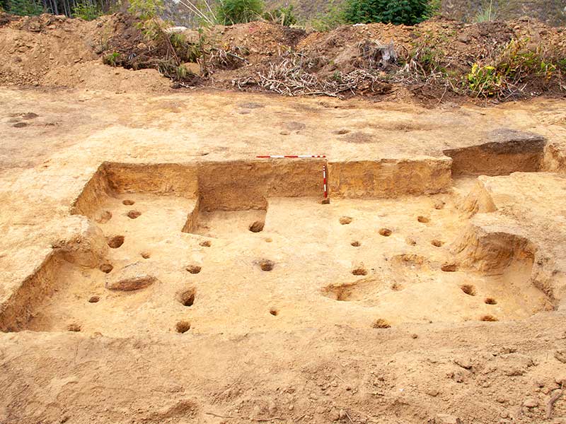
Excavation is widely seen as the main focus of archaeology. As these pages make clear, we offer a much wider range of services than excavation, though often excavation or investigation is the final outcome.
Conservation plans identify the important characteristics and the values (cultural heritage and natural) associated with a site or place. This information guides the development of policies to protect the site through managing change in a way which is compatible with or sympathetic to the identified values.
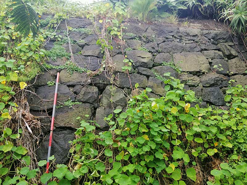
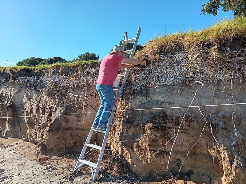
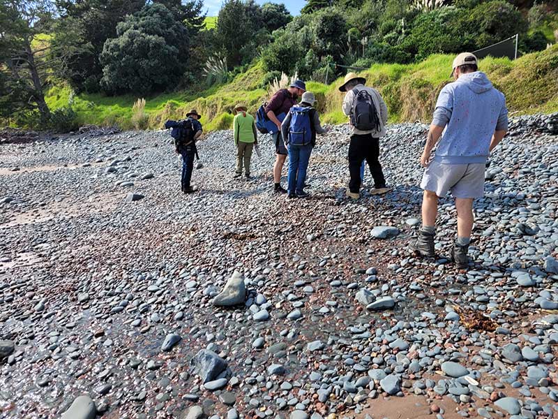
The most common archaeological site type in New Zealand is middens. These are the refuse of food preparation, whether for eating on the spot or preservation for later consumption. For pre-European Maori sites these are most visible as shell middens, usually in coastal environments.
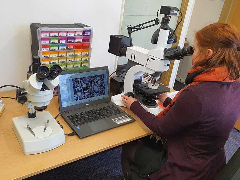
We actively participate in archaeological research projects and have received funding grants to undertake work on specific topics. Publication of the results from research is an important part of archaeology, particularly research.
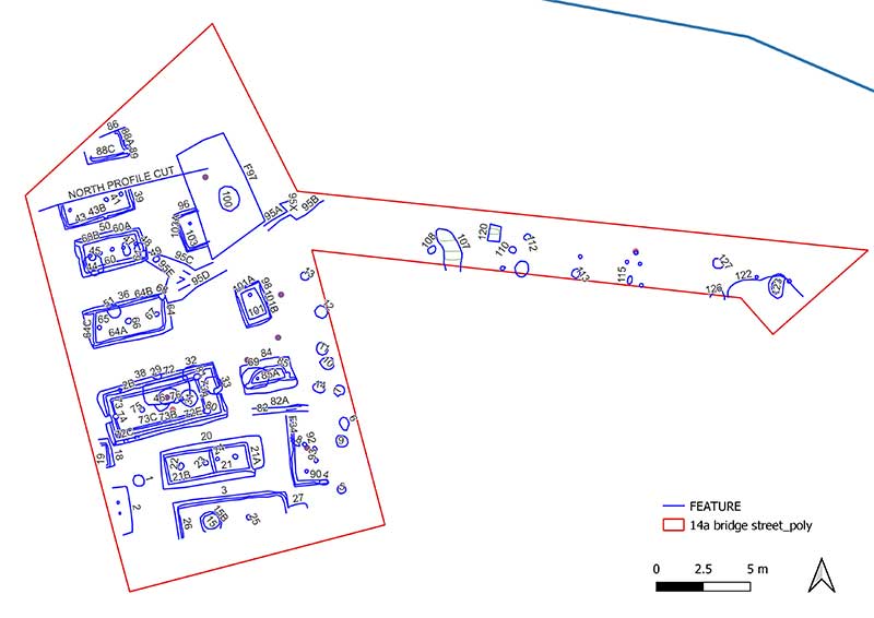
Once a site has been destroyed – either through archaeological monitoring or a controlled archaeological excavation – information gained must be shared and made available.